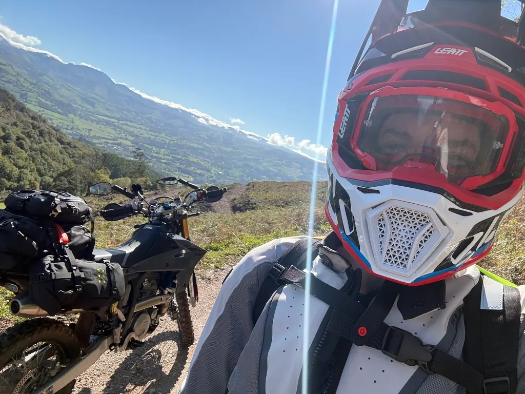
Hello, I’m Jon and I’m the founder of Overlandi - I’m going to explain the thinking behind this new route planning and navigation app, why I think there’s room for it, and why it will make your planning your next trip pain free.
Background
I founded my company to develop software in complex but rewarding areas. In the age or AI, some of the toughest challenges are more accessible than ever, and with a clear vision it’s possible to make tools that prevously only the biggest players had potential to deliver. Google maps has completely revolutionised the way people get around, but there’s a big technology gap as soon as you get off the tarmac. It’s a small niche, not very profitable, not very interesting to the corporate tech firms.
At one point Garmin had complete control of the off-road navigation market with BaseCamp paired with their hardware, it used to be an amazing tool, but as software has improved sadly it was left behind as Garmin focus on the much more lucrative wearables market. There have been some great advancements and ideas, for example Gaia and their map layering system, the community driven tools like Komoot, AllTrails, Trailforks etc., and specialist hardware like Beeline and DMD2. All of which are excellent.
Almost all tools which aren’t made by Apple or Google rely on incredible projects including MapLibre for displaying maps, and OpenSteetMap for the mapping data, and services like OpenRouteService for route calculations.
So, is there room for yet more software in this area. I believe so, and this is why.
- Knowing that a trail is there is not enough. Are you allowed to use it? Do you have the right tyres to ride or drive it? How much off-road is there? These sort of questions are really common in communities like the Trans European Trail adventure motorcycling Facebook group.
- Planning a route is still a time consuming and frustrating process, especially for more complex multi-day trips.
- Off-road turn by turn navigation is weak on most hardware.
- Solving these problems is not fully possible with existing software or open source tech.
Vision
My vision for Overlandi is a tool that tackles the main pain points when planning a trip in more remote areas. For me, this includes…
- Seamlessly planning a trip which mixes recorded GPS tracks with detours, waypoints of any kind & unplanned sections
- Having an understanding of how tough the route will be and if it’s suitable for me
- Navigating quickly and seamlessly on and off-road, minimising wrong turns and bad decisions
- Transferring data and routes without friction to any device.
I’m an expert in machine learning and optimisation problems, and I’ve been using expensive AI training rigs to help develop the prototype.
Getting to this point has been around one year of work full time, it’s a big project and will require years of development effort. Here are some of the key achievements:
- Completely new mapping engine based on video game technologies, 3d native, incredible quick and smooth. Runs at 120fps on a modern iPhone. Beautiful 3d rendering with contours.
- A lightweight topographic base map, vector based, crisp at any zoom level.
- A machine learning algorithm which can predict track surfaces with greater than 80% accuracy, I will be improving this will more diverse data sets ongoing.
- A terrain aware routing engine - this needs to be faster than any other offering while providing high quality routes using the user’s preferred track type.
- A unified way of handling tracks, roads, paths and waypoints, markers, POIs - everything is edited in the same way.
- A navigation engine trained on a huge variety of features (like junctions, roundabouts, switchbacks, mountain trails).
- A cheap AMOLED pod hardware navigation aid.
- An integration with Garmin devices to transfer and sync data painlessly.
- Use ChatGPT, Claude or Gemini to help plan your route.
Most importantly - I want as many features as possible to be free, it needs to fully function without reaching for a credit card. Any features which require payment will be based on the expense to run them. As you can imagine - holding and processing mapping data for the planet is not cheap.
Finally, Overlandi will be contributing to the open software which makes it possible - especially OSM. This will be via providing GPS traces (anonymous, opt in) and by using humans to verify map features (is the gate still there?).
I’ll be donating a percentage of any profits back to a selection of the companies and foundations mentioned above too.
I’m very excited to see the app progress, and looking forward to hearing your feedback.